Map

Map of the ViaRhôna
Want to discover the stages of the Greenway and Eurovelo 17, with the ViaRhôna map? Build your cycling route and choose your station for your next cycling trip.

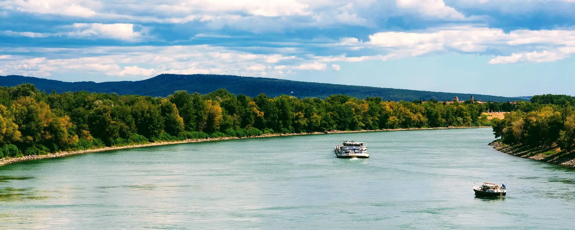
Forecasting and monitoring flooding of the Rhône with Vigicrues
Flooding of the Rhône river is a regular occurrence, with varying degrees of intensity depending on the amount of natural rainfall over the seasons.

The dams of the Swiss Valais: energy giants with majestic architecture
Since the beginning of the 19th century, the Swiss Confederation has been operating dams and hydroelectric power stations, mainly in the Alpine cantons, including the Valais.With more than 600 power stations producing at least 300 kilowatts and more than 200 dams, 90% of which are used for energy production, 70% of Switzerland’s electricity consumption comes…

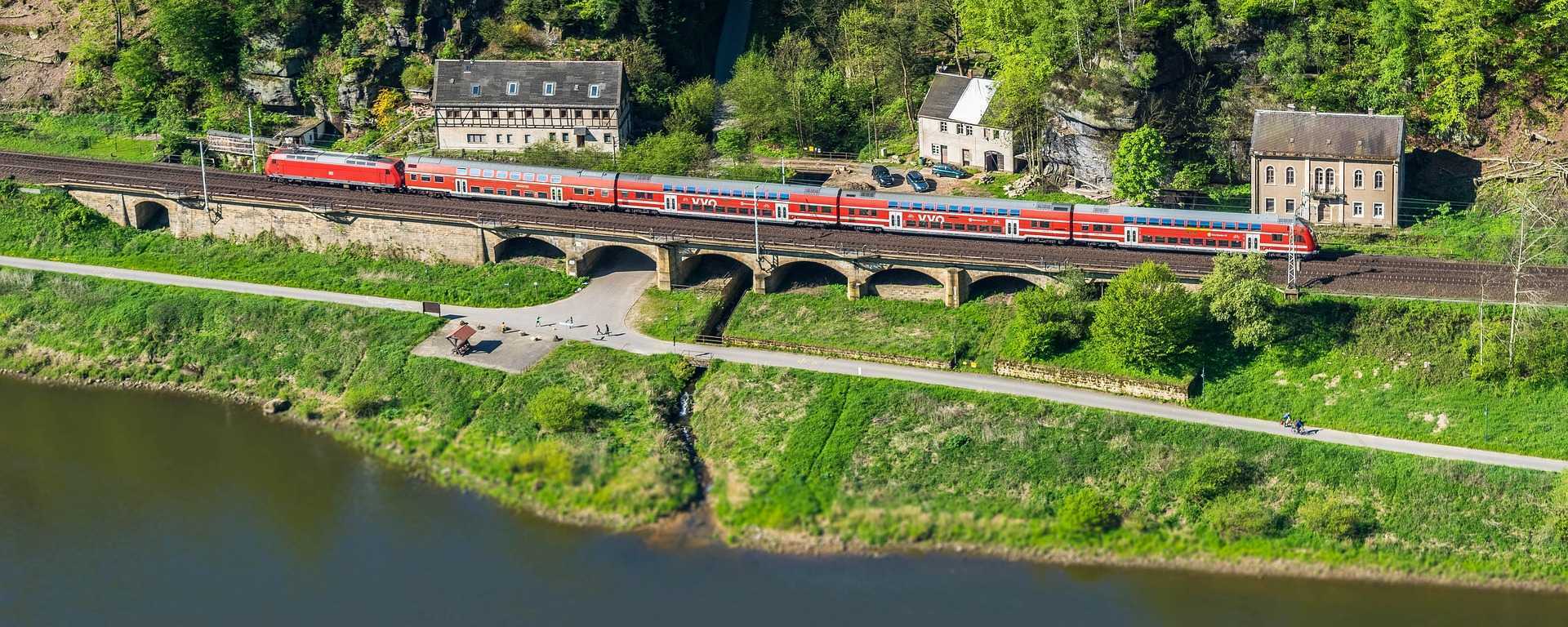
Take the train in Switzerland and travel differently in the Alps
Have you always dreamed of discovering the magic of the Swiss Alps? To travel through snowy landscapes in winter or flowery pastures in summer? To forget the daily grind and immerse yourself in the tempo of the rails?

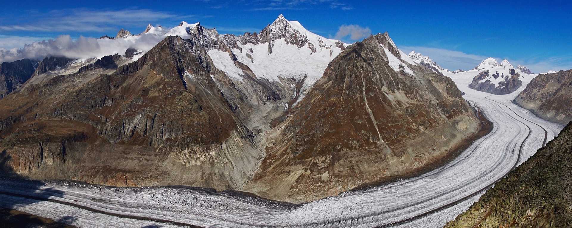
Exploring the Aletsch Glacier in Switzerland, the largest in the Alps
When it comes to the Alps, the largest glacier in the Alps is undoubtedly the Aletsch Glacier. Located on the way to the Rhone, the Aletsch feeds it with the river Massa. Ready to discover the splendour of the largest river of ice in the Alps? The splendour of the largest glacier in the Alps:…

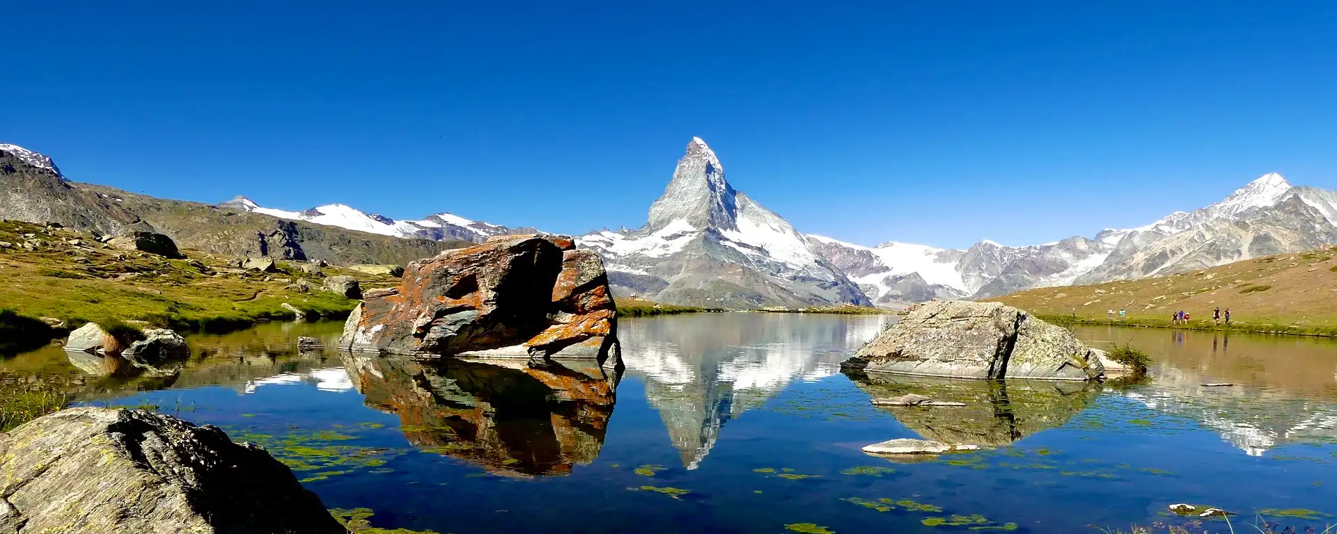
Climbing the Matterhorn: History and Hörnli route
Embark on a magical journey to the top of the Matterhorn, one of the highest mountains in Europe. Discover the Hörnli Ridge, the most direct and popular route to its 4,478 metre summit.

Furka Pass: a Swiss Alpine pass at 2,429 metres
How would you like to pin a spectacular 16.4 kilometre ascent to the Rhone Glacier on your map?The Furka Pass deserves its reputation and offers lovers of the great outdoors a truly intense experience.

